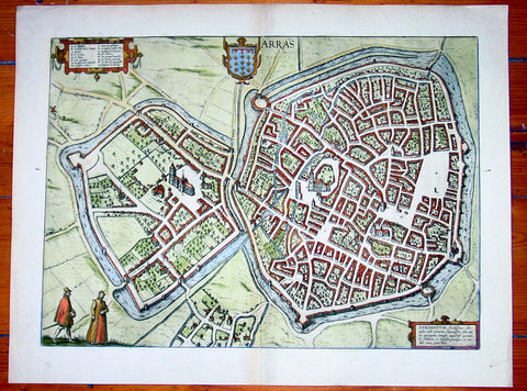
Welcome to Classical Images!
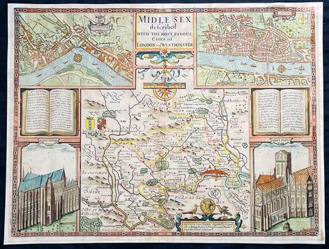
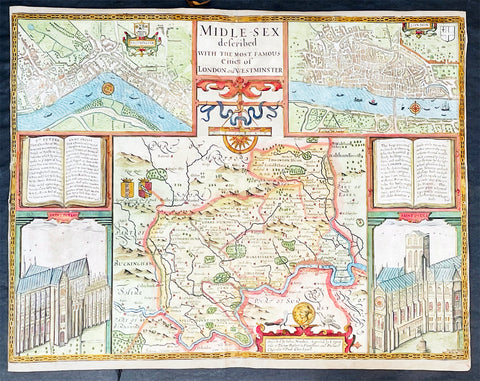
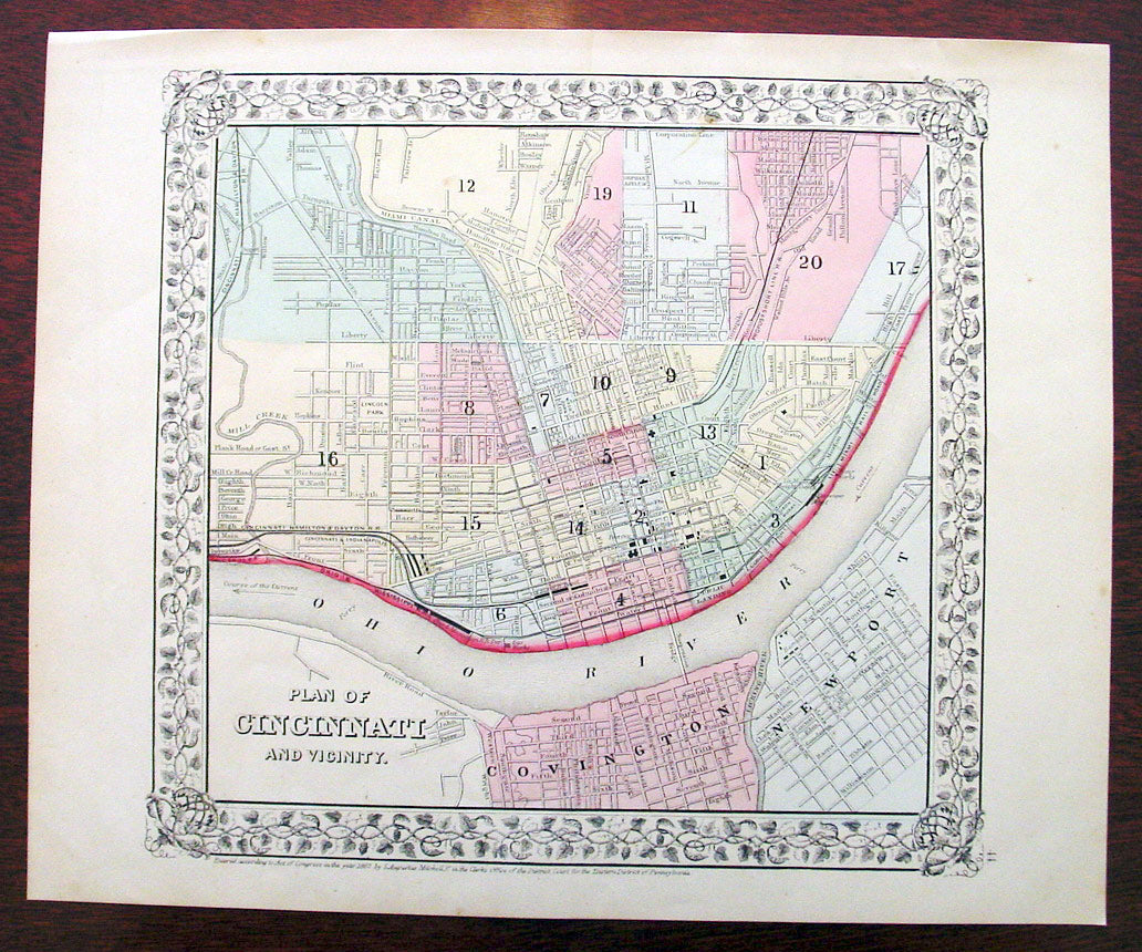
Description: This beautifully hand coloured original antique city plan map was published by Samuel Augustus Mitchell in the 1870 edition of his large New General Atlas - dated at the foot of the map.
These county, state, city & country maps are some of the most ornate and beautifully coloured maps published in the US in the 19th century. For over 50 years, Mitchell his son's and their successors were the most prominent cartographical publishers of maps and atlases in the United States.
General Description: Paper thickness and quality: - Heavy & stable Paper color: - White Age of map color: - Original Colors used: - Green, pink, yellow General color appearance: - Authentic Paper size: - 15in x 12in (380mm x 300mm) Plate size: - 15in x 12in (380mm x 300mm) Margins: - Min 1/2in (10mm)
Imperfections: Margins: - None Plate area: - None Verso: - None